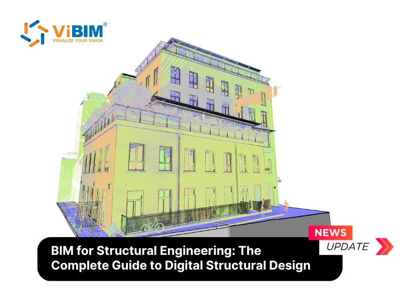
BIM in civil engineering brings a project’s design data and its physical conditions together into one 3D model that every discipline works from. Roads, bridges, tunnels, drainage networks, and the structures around them can be planned, coordinated, and maintained from that shared model instead of from separate drawing sets.
BIM applications in civil engineering run across five areas, from infrastructure design through to the as-built documentation of assets already in service. The workflow behind them changes depending on where a project starts.
New works are modeled forward from design intent, while an existing bridge or plant has to be surveyed and rebuilt digitally before new design begins. Software follows that same split, with seven tools spanning Revit and Civil 3D at the design end through to the reality-capture applications that turn scan data into something modelable.
The sections below define the term, set BIM against traditional CAD, weigh the benefits and the challenges, cover the standards that govern model information, and explain how a model of an existing structure is produced.
A model of an existing asset is only as reliable as the survey behind it, so the quality of that capture decides how much the finished model can carry.
What Is BIM in Civil Engineering?
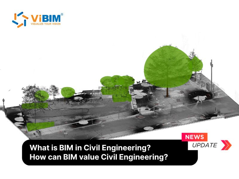
BIM in civil engineering is the use of a shared 3D model to plan, design, build, and manage infrastructure such as roads, bridges, tunnels, and existing structures. Building information modeling stores far more than geometry. The model also carries cost, materials, schedules, and the expected performance of each component.
BIM is a process, not a single piece of software. Several tools feed one coordinated model that every discipline can read and update.
That model-based process runs in two directions, listed below.
- Forward, on new projects: engineers build the model from design intent, before anything exists on site.
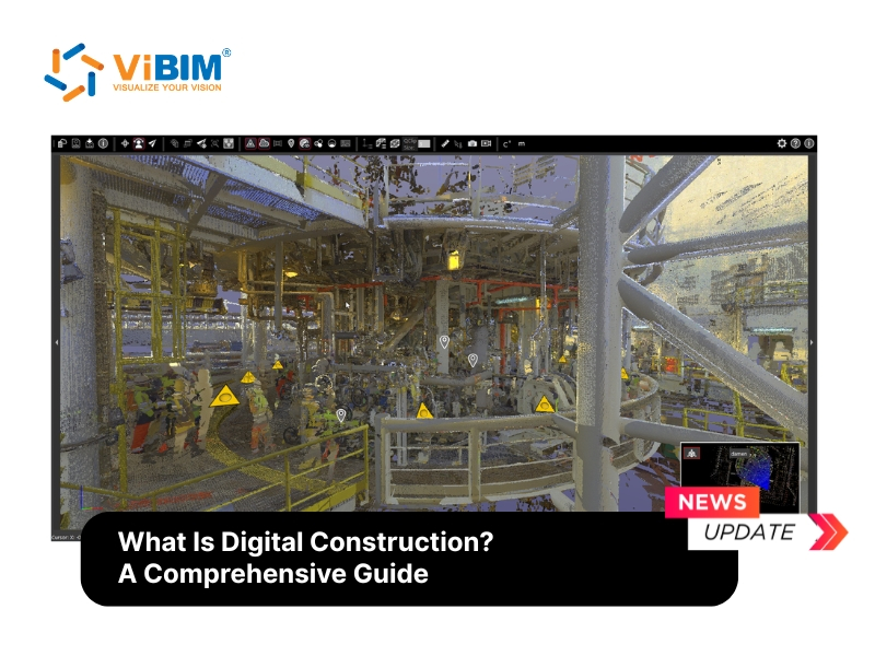
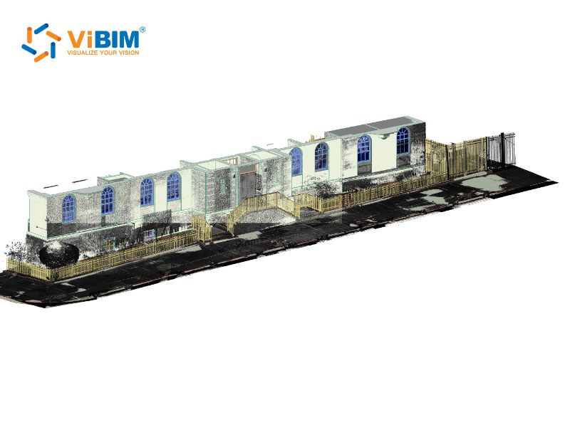
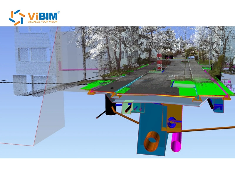
- From reality, on existing assets: a standing bridge, road, or plant is captured by a laser scan, turned into a point cloud, and modeled into BIM before new design or analysis begins.
Benefits of BIM for Civil Engineers
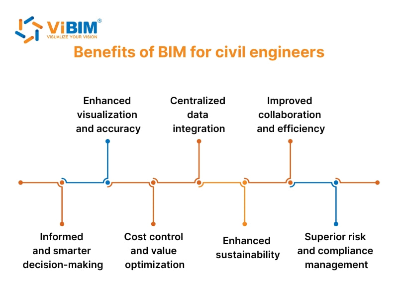
BIM gives civil engineers seven core benefits: sharper visualization, centralized data, cross-discipline collaboration, schedule-aware decisions, tighter cost control, early sustainability analysis, and lower risk. Each one comes from the same source, one model that every team works from.
A 2025 study of BIM case projects measured the effect: using BIM across all project phases cut project timelines by about 20% and costs by about 15%, mainly by catching design errors before they reached the site (Discover Materials, 2025).
These seven benefits are outlined below.
- Sharper visualization: 3D models, clash detection, and simulations let engineers validate a design before construction. Estimates for materials, cost, and time hold up better as a result.
- Centralized data: materials, schedules, and costs live in one model, so every stakeholder works from the same current information instead of conflicting files.
- Cross-discipline collaboration: architects, structural engineers, and contractors update the same model, which surfaces conflicts during design instead of on site.
- Schedule-aware decisions: the model can be linked to the construction programme through 4D BIM, which shows how sequence, resources, and site conditions interact before work starts.
- Tighter cost control: accurate quantity take-off data turns budgeting from an estimate into a calculation, which cuts unbudgeted changes late in the job.
- Early sustainability analysis: engineers can test energy use and material impact while the design is still cheap to change.
- Lower risk: the model exposes structural and safety conflicts ahead of construction and leaves a record for code compliance checks.
How Is BIM Used in Civil Engineering?
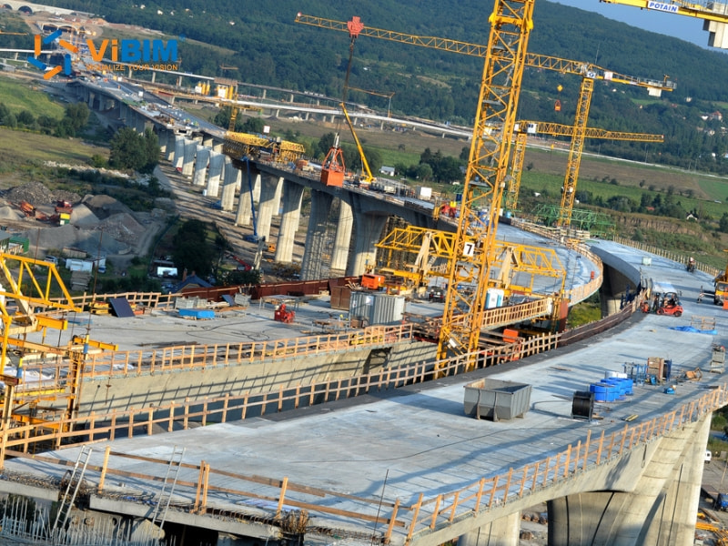
Civil engineers use BIM for infrastructure design, BIM for structural analysis, project coordination, construction-site management, and the as-built documentation of existing bridges, roads, and tunnels. Its biggest payoff comes on projects that involve an existing asset, where the model has to capture what is already there before anything new is designed.
The main applications of BIM in civil engineering are listed below.
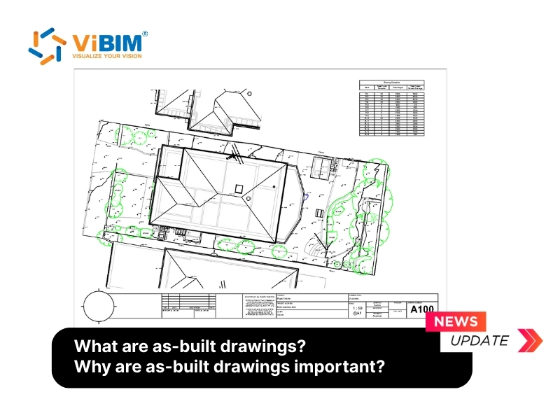
- As-built documentation and rehabilitation: for an existing bridge, tunnel, or plant, BIM begins with a survey of current conditions, where point cloud to BIM services convert measured survey data into an accurate digital record for repairs and upgrades.
- Structural engineering: engineers model stress, load, and resistance, then test how a structure behaves under real forces before construction confirms it.
- Infrastructure design and coordination: highways, bridges, and railways are modeled in 3D so teams can analyze ground conditions and resolve clashes across disciplines.
- Site and topography: survey and scan data feed a model of the terrain itself, which is where Topography Scan to BIM Services turn raw measurements into a usable base for design.
- Construction-site management: the model connects field teams to live project data, so managers can follow progress, materials, and site safety as the build proceeds.
BIM vs CAD in Civil Engineering (and Where Civil 3D Fits)
BIM and CAD differ in what they produce: CAD produces standalone drawings, while BIM produces a data-rich 3D model that carries cost, schedule, and material information alongside the geometry. Traditional CAD, including AutoCAD, handles 2D and basic 3D geometry well, but each drawing stands on its own.
Building information modeling links that geometry to data and keeps every view consistent. Change a column in the model and the plans, sections, and schedules update with it.
The table below compares the two for civil engineering work.
| Aspect | CAD | BIM |
|---|---|---|
| Output | 2D and 3D drawings | Intelligent 3D model |
| Data | Geometry only | Geometry plus cost, schedule, and materials |
| Collaboration | File by file | One shared model |
| Lifecycle | Mainly the design stage | Design through operation |
Civil 3D sits between the two. Autodesk built the software as a design tool for new civil infrastructure, roads, grading, and drainage corridors, and its output can feed a wider BIM workflow.
Where a project needs the building or structural portion authored in Revit, Revit 3D BIM modeling services can produce a coordinated model that sits alongside Civil 3D infrastructure data.
For an existing road or bridge, though, one step comes first. The current conditions have to be captured by a scan and modeled into BIM, so the design starts from measured reality rather than assumptions.
Essential BIM Software for Civil Engineers
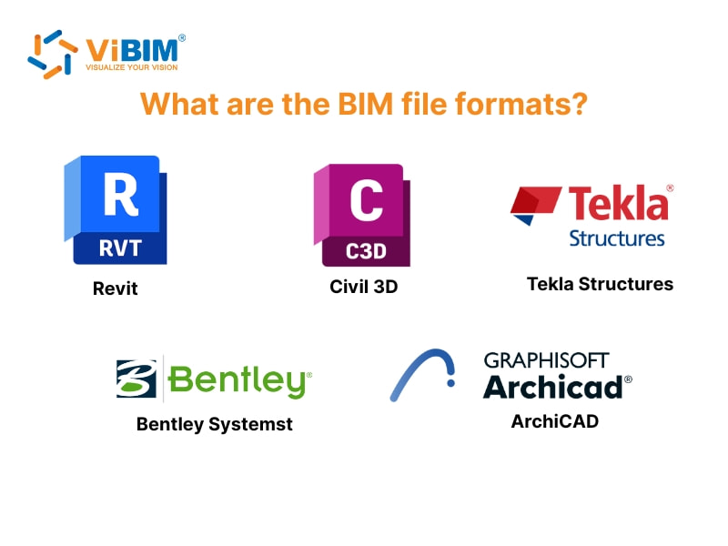
Seven BIM software tools cover most civil engineering work: Revit, Civil 3D, Navisworks, Tekla Structures, Bentley MicroStation, ReCap Pro, and ArchiCAD. Each one handles a different part of the design-to-delivery workflow, so most teams run several side by side rather than standardizing on one.
These seven BIM software tools are listed below.
- Revit: the platform most teams model buildings and structures in, with parametric elements that update across every view at once.
- Civil 3D: the civil-specific tool for road, grading, and drainage design, with strong documentation features.
- Navisworks: a coordination and clash-detection tool that combines models from different disciplines to find conflicts before construction.
- Tekla Structures: detailing software for concrete and steel, well suited to bridges and complex structural work.
- Bentley (MicroStation and OpenRoads): a family of CAD and infrastructure-design tools widely used on large transport projects.
- ReCap Pro: reality-capture software that turns laser-scan and photo data into the point clouds a BIM model is built from.
- ArchiCAD: a 3D modeling tool from Graphisoft used to design, visualize, and document projects end to end.
Each of these BIM software tools takes real skill to run well, and what a project ultimately needs is the finished model rather than the software licence.
Challenges and Standards of BIM in Civil Engineering
Cost, training time, and the quality of survey data all shape how far a team can take BIM, while ISO 19650 and the standards around it govern how the resulting model information is produced, named, and exchanged.
The main challenges and the standards that address them are covered below.
Challenges and Limitations of Using BIM
The main challenges of using BIM are upfront cost, the learning curve, interoperability between tools, and a model’s dependence on the quality of its input data. None of them blocks adoption. Each one changes how a team scopes and budgets the work.
These four challenges are outlined below.
- Upfront cost: licences, hardware, and training arrive before the savings do, which makes BIM a harder case on small or short-duration works.
- Learning curve: moving from drawing-based to model-based delivery changes roles and review habits as much as software, so teams need time to adjust.
- Interoperability: disciplines rarely share one application, so exchange formats matter, and open standards such as openBIM and IFC exist to keep data readable between platforms.
- Input data quality: a model of an existing asset is only as reliable as the survey behind it, so a sparse or poorly registered scan limits how much detail the model can honestly carry.
BIM Standards for Civil Engineering (ISO 19650 and LOD)
Three references govern most civil engineering BIM work: ISO 19650 for information management, PAS 1192 as its British predecessor, and the BIM Forum LOD specification for how much detail each model element carries. Together they define what gets delivered, when, and in what state.
These standards are listed below.
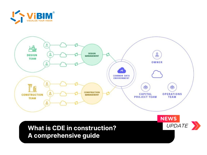
- ISO 19650: the international standard for managing information across a project lifecycle, covering naming, approval, and the common data environment that holds the model.
- PAS 1192: the earlier British specification that ISO 19650 grew out of, still referenced on legacy projects and in older contracts.
- BIM Forum LOD specification: defines the levels of development an element passes through, from schematic to as-built, and pairs with the BIM level of development a client specifies when ordering a model.
ViBIM delivers models compatible with ISO 19650, PAS 1192, and the BIM Forum LOD specification, so an outsourced model arrives in the same information structure the project already runs on.
Scan to BIM for Existing Civil Infrastructure
When a civil engineering project involves an existing bridge, tunnel, road, or plant, the BIM model has to start from the asset itself, captured by a laser scan, converted into a point cloud, and then modeled into BIM. Drawings from the original build, where they still exist, rarely match what stands on site today.
The scan to BIM process for existing infrastructure follows the four steps below.
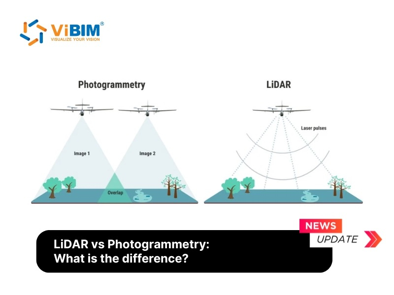
- Capture: terrestrial or mobile laser scanners record the structure and its surroundings as millions of measured points.
- Register and process: individual scan positions are aligned into one coordinated point cloud through point cloud registration, then cleaned and cropped to the project scope.
- Model: modelers rebuild the asset in Autodesk Revit or an equivalent platform, element by element, to the level of development the project requires.
- Check: the finished model is verified back against the point cloud for deviation, missing elements, and parameter consistency.
Step three is where the effort concentrates. Turning a point cloud into a reliable model is manual, judgement-heavy work, which is why many survey and engineering firms hand scan to BIM to a specialist rather than staff for it internally.
The volume of points and the short modeling window on infrastructure projects are what make that step hard to keep in-house. ViBIM has delivered around 250,000 hours of this work through its point cloud to BIM services, and every model goes through two independent QC passes before handover.
Frequently Asked Questions About BIM in Civil Engineering
Common questions about BIM in civil engineering are answered below.
Is BIM used in civil engineering?
Yes, BIM is widely used in civil engineering, across infrastructure design, structural analysis, construction coordination, and the as-built documentation of existing assets. Adoption is highest on large or publicly funded projects, where information requirements are written into the contract, and lowest on small works that a 2D workflow still handles comfortably.
Why is BIM important in civil engineering?
BIM matters in civil engineering because infrastructure projects have outgrown what separate drawing sets can coordinate. Public clients now write model and information requirements into their contracts, and asset owners want a digital record they can maintain against long after handover. On many frameworks the model itself is the deliverable, and the drawings are extracted from it.
Is learning BIM useful for civil engineers?
Yes, learning BIM is increasingly valuable for civil engineers, because more firms and public clients now specify model-based delivery rather than drawings alone. Familiarity with a modeling platform and with information standards such as ISO 19650 widens the range of projects an engineer can work on, particularly in infrastructure and asset management.
How do Civil 3D and BIM work together?
Civil 3D is a design tool that feeds a BIM workflow. Engineers model alignments, grading, corridors, and drainage in Civil 3D, then share that output into a coordinated model where structural, architectural, and MEP data sit alongside it. The civil design stays native to Civil 3D while the combined model supports BIM coordination and lifecycle information.
What does a BIM engineer do in civil engineering?
A BIM engineer builds and coordinates the models a project runs on. The role covers modeling from drawings or scan data, running clash detection between disciplines, enforcing naming and modeling standards, and keeping model information consistent as the design changes. On infrastructure work the role often extends to quantity take off and progress tracking.
Is BIM required for every civil engineering project?
No, BIM is not required for every civil engineering project. Small or repetitive works are still delivered efficiently in 2D CAD, and the setup effort can outweigh the benefit at that scale. BIM earns its cost on projects that are large, technically complex, coordinated across several disciplines, or built around an existing asset that has to be surveyed first.
Working With BIM on Existing Infrastructure
BIM has moved civil engineering from separate drawing sets to one coordinated model that carries geometry and data together. Accuracy, coordination, and cost control all improve when every discipline reads from that same model. On new infrastructure it starts from design intent, and on an existing bridge, plant, or road it starts from a measured survey of what is already standing.
ViBIM works on the second half of that picture. Our Revit 3D BIM modeling services convert point cloud data from laser scanning into accurate as-built models for survey firms, engineering consultancies, and BIM teams across the US, UK, Canada, and Australia, with a free trial project for new clients and a scoped quote within 12 to 24 hours.
Vietnam BIM Consultancy and Technology Application Company Limited (ViBIM)
- Address: 10th floor, CIT Building, No 6, Alley 15, Duy Tan street, Cau Giay ward, Hanoi, Vietnam
- Phone: +84 944 798 298
- Email: info@vibim.com.vn