Business Needs
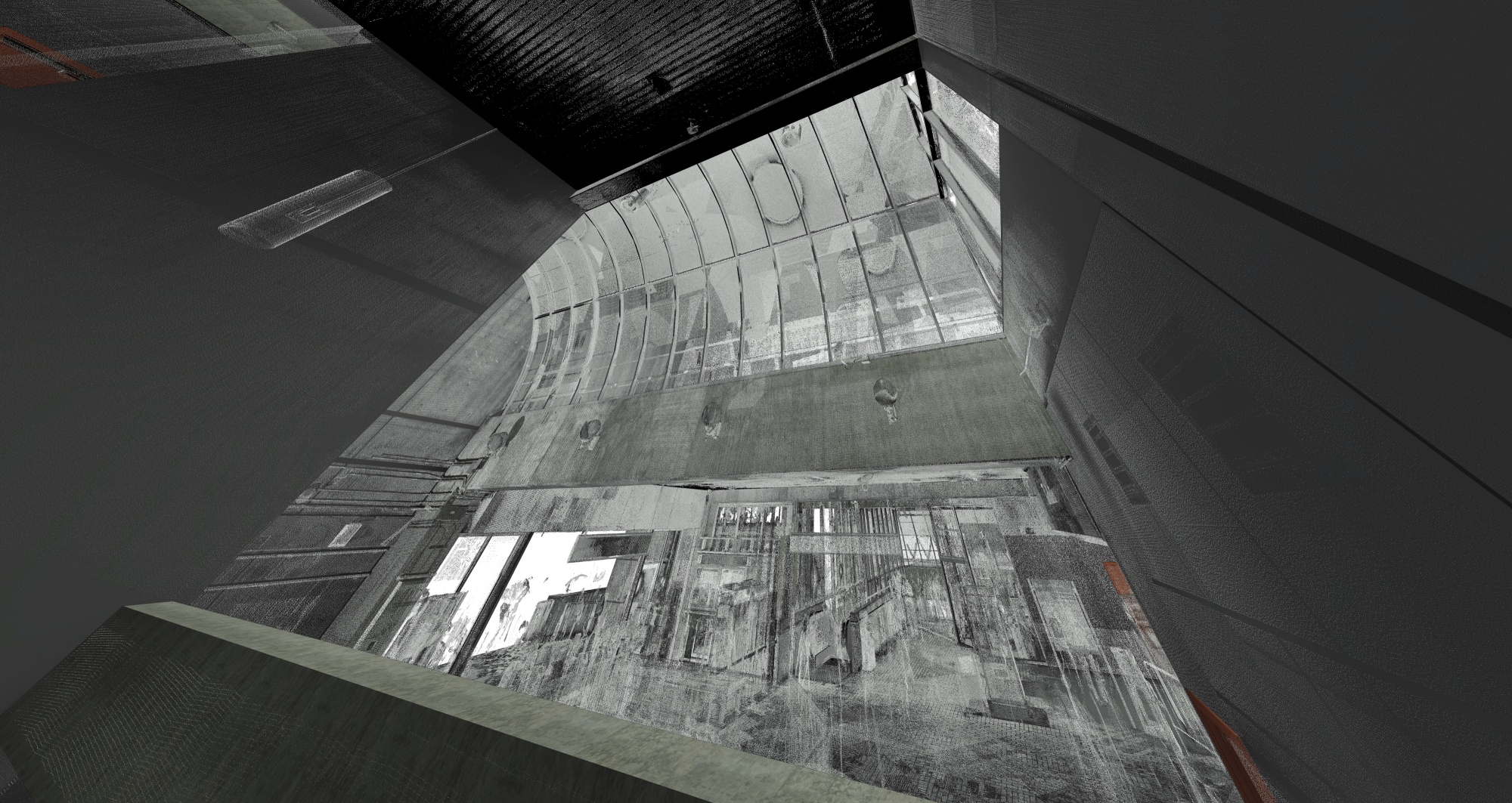
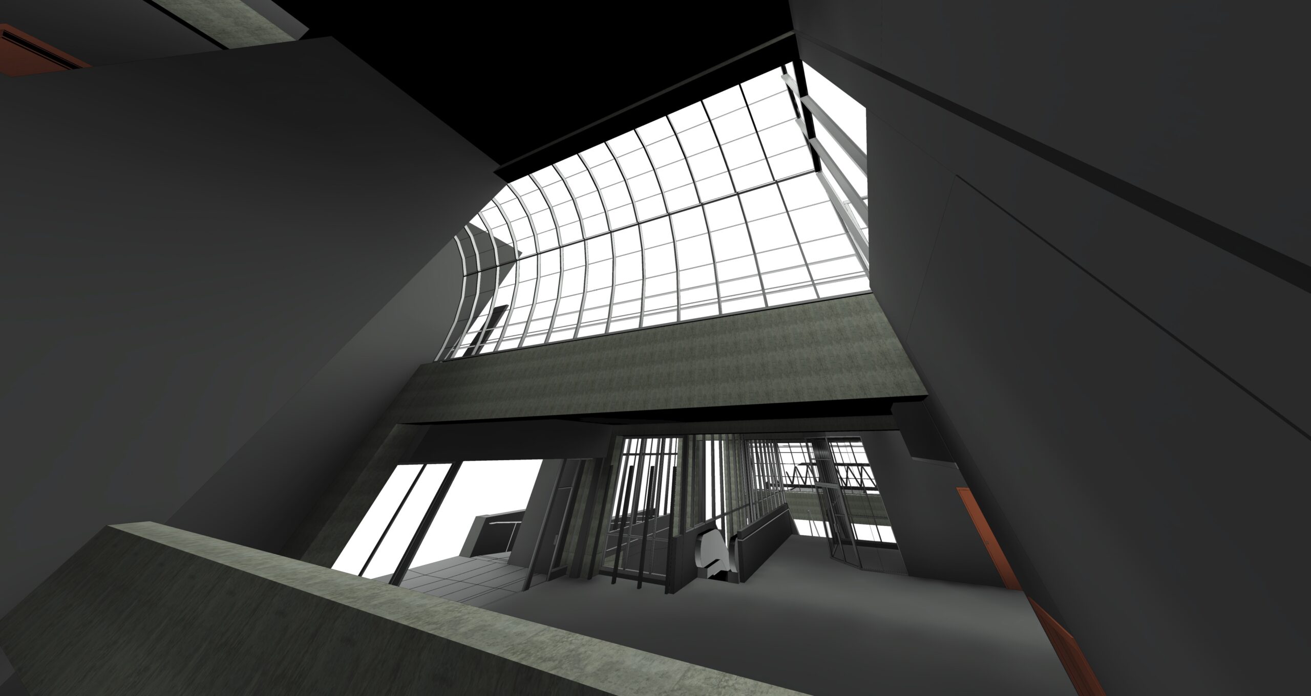
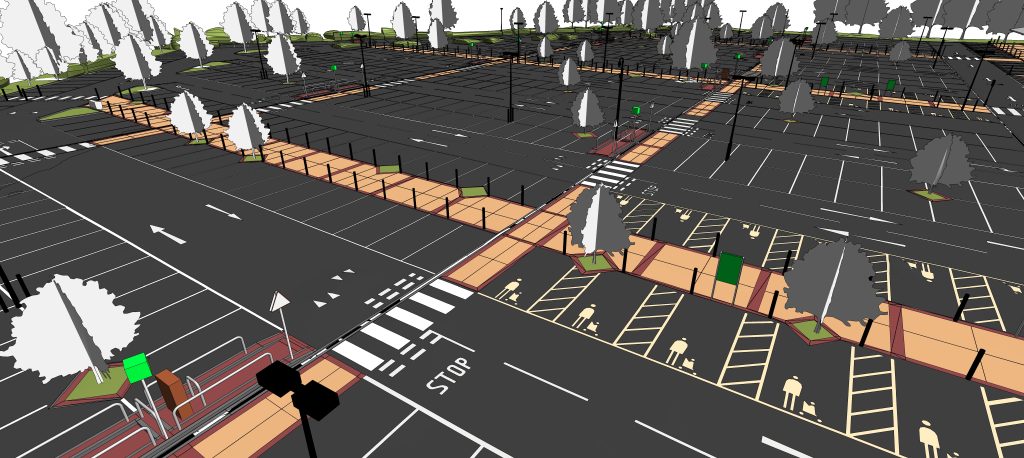
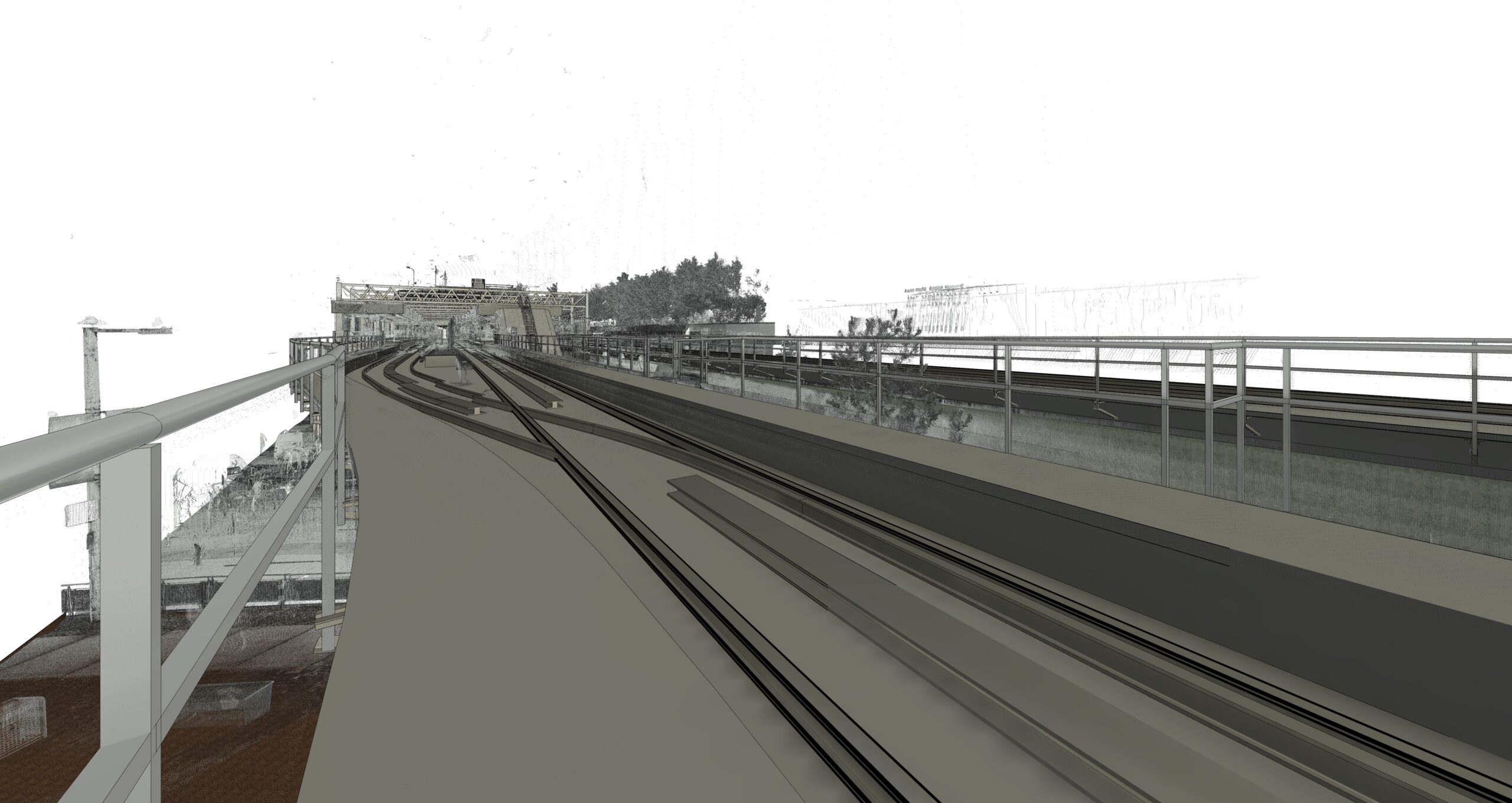
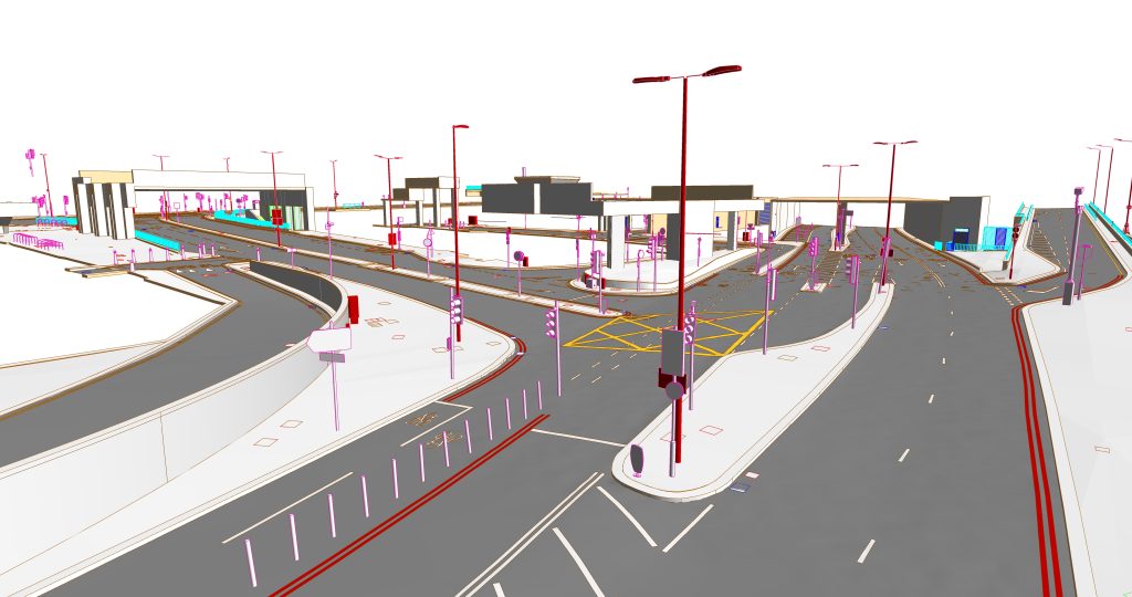
The “330.Canada Stadium Station” project involves the Revit modeling of a railway station located in Canada, covering an area of approximately 6,700 m². The primary requirement was a Revit Scan to BIM scope that converted the supplied Point Cloud data into a comprehensive architectural and structural station model for asset management, renovation planning, and information integration within the urban infrastructure system.
Key Objectives
Utilize a 3D model generated from laser scan Point Cloud data to accurately facilitate renovation design, space reconfiguration, system upgrades, and potential expansion of the facility, ensuring cost efficiency and effectiveness.
Challenges
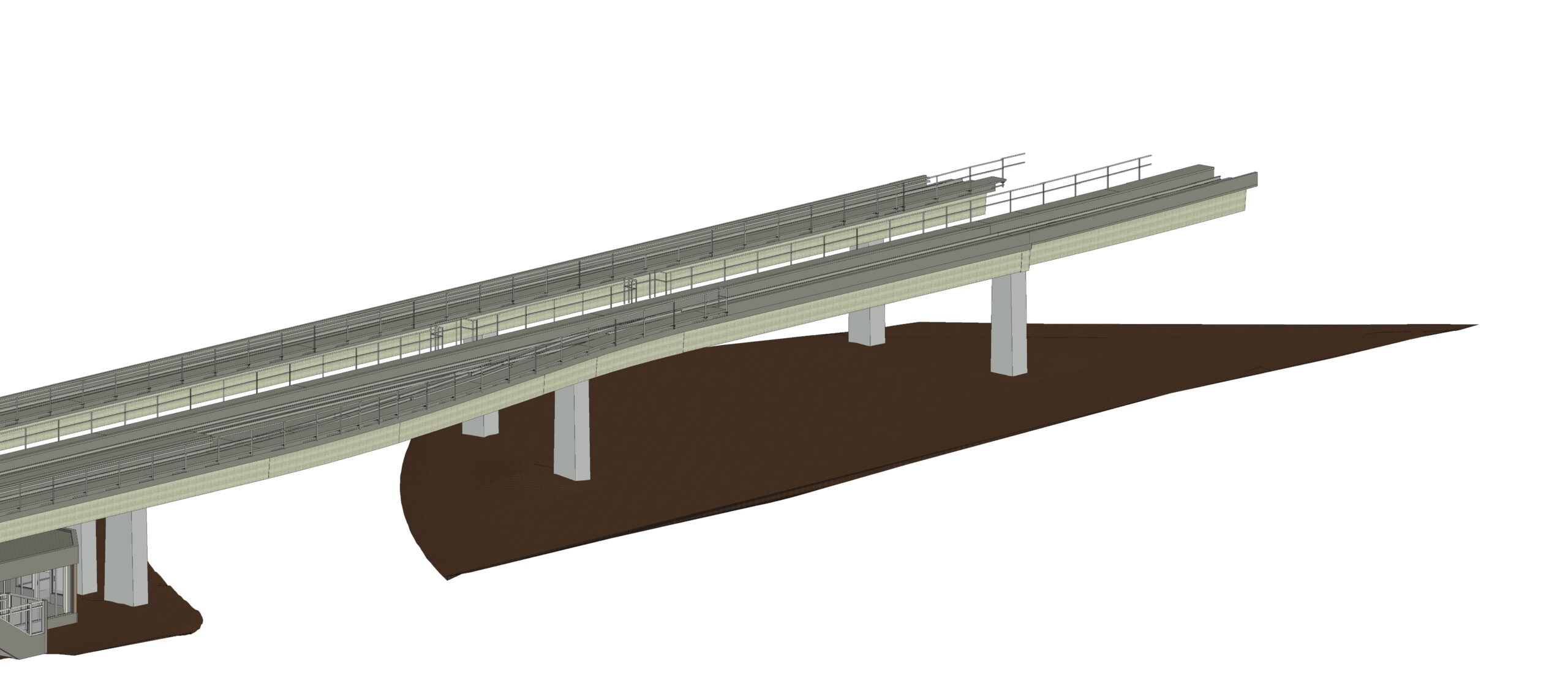
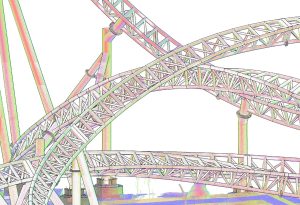
- The point cloud to Revit model conversion was technically complex because the station extends from street level to lower levels, with train tracks running mid-level. The station includes multiple internal floors and numerous structural elements. The bridge beam system features intricate geometry with sloped, irregular cross-sections along the track length.
- The railway track system must be precisely modeled, with the top rail alignment tolerances strictly limited to deviations not exceeding 10 mm.
Our Solutions and Approach
- Within the 3D Scan to BIM workflow, ViBIM combined the client-supplied Point Cloud data with Google Maps imagery and related documentation to understand the station’s overall structural framework. This cross-referencing enabled technicians to visualize key objects accurately during the modeling process.
- To ensure high accuracy of the railway track model, specialized analysis software was employed. ViBIM monitored model deviations continuously, applied necessary corrections, and guaranteed compliance with the 10 mm tolerance criteria.
Business Impact
- Provides a reliable data foundation for all downstream activities: The 3D model, created through a meticulous conversion process from laser scan data and validated against multiple sources (Google Maps, reference articles), accurately reflects the ‘as-built’ condition of the facility. This establishes a trustworthy single source of truth for subsequent operations.
- Enables efficient renovation and upgrade design: Early detection of clashes among structural, architectural, and MEP elements reduces on-site errors and rework costs.
- Optimizes space planning by allowing intuitive and precise testing of new layout options.
- Enhances construction planning reliability for materials and workforce management.
Testimonials from client
Thank you very much. We are currently processing it through our QC workflow and hope to provide feedback by tomorrow.
At a high level, the model looks excellent, so we do not anticipate significant issues. The comments are minor, and overall, the quality is great.
See how our expertise handles even the most dense and complex environments. Our 3D BIM Modeling Services provide the clarity and accuracy your project demands, from initial scan to final deliverable.